
Data Visualisation Software – GEO-AXIOM VISTA
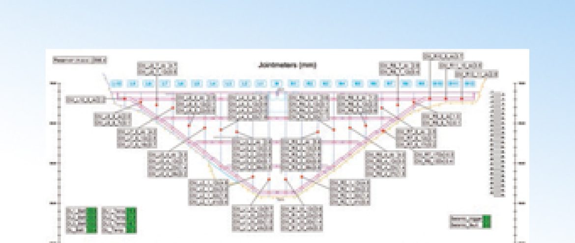
GGeoAxiom Vista is a specialist Geotechnical software which provides data handling, storage, visualisation, alarms, reporting and web based access from any size of automatic data acquisition system.
Applications
- For the visualisation and presentation of data from:
- Vibrating wire sensors
- 4-20 mA sensors
- mV sensors
- Inclinometers
- Robotic Total Stations
- Manual readings
- GPS stations
- Webcam
Features
- Data presented as photographs, plans or cross-sections
- Displacement graphs
- Can import Google maps
- Trend lines can be generated
- Wide range of reports
- Highly configurable to suit individual projects
- Easy to configure
- Near real time data
- Can be accessed via internet
- Can be networked
- No limit to sensor number
- Multi-language options
